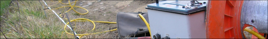
Geophysical equipment
- Geoelectric surveys
- 72 channel Syscal PRO georesistive meter
- Syscal PRO 96-channel georesistive meter
- 10 multicore cables with 10 m spacing, 4 cables with 3 m spacing, 4 cables with 1.5 m spacing, 8 cables with 5 m spacing
- Lippmann Punkt Light georesistivometers (three units) with 200 active electrodes on cable spaced 5 m
- Georadar surveys
- Hi-Mod multiarray IDS RIS georadar, with 200-400-600-900 MHz antennas
- GSSI SIR-4000 georadar with 270-400-2000 MHz antennas
- Electromagnetic investigations
- 2 Profiler GSSI multifrequency electro-magnetometers (FDEM)
- 2 radio frequency searchers / cable finders (RD4000 and Genny 4)
- Magnetometric investigations
- FEREX API magnetometer with hole probe (warfare checks in the hole and from the surface)
- Audiomagnetotelluriche investigations
- Phoenix MTU-5 audiomagnetotelluric instrumentation with AMTC-30 sensors
- Seismic investigations
- 3 Daqlink IV Seismic Source 24-channel seismographs (72 simultaneous channels), with 1, 2, 3 and 5 m spacing seismic cables
- 100 vertical geophones at 4.5 Hz, 72 vertical geophones at 40 Hz, 48 horizontal geophones at 40 Hz, 48 vertical geophones at 100 Hz, 48 vertical geophones at 20 Hz
- P / S SARA geophonic probe for borehole investigations (50 m cable)
- Dynamic energizer mounted on pickup for seismic surveys - Techgea prototype
- Isotta seismic rifle
- Single and double Land Streamer for dragging seismic / electric sensors on the road - Techgea prototype
- SARA SL06 seismometer (2015) - VIBRATION MONITORING
- Topography and photogrammetry
- 2 LEICA GS08 L1 + L2 GPS systems and LEICA GS10 L1 + L2 GPS systems
- Geomax ZTS 602 LR total topographic station
- DJI Spark drone and DJI MAVIC 2 drone, both equipped with high-resolution cameras for photogrammetric surveys (Techgea has registration and authorization to fly at ENAC)
- Video inspections of wells / boreholes
- PASI well camera, with cable up to 200 m deep and data recording on computer support (2016)
- Phreatimeter with cable up to 100 m deep
- Interface probe (measuring supernatant oil) with cable up to 30 m deep
- Other tools / utilities
- Feda magnetic riser for lifting metal roofs up to 100 kg
- Hilti TE30 electric hammer / drill
- Honda electric generator 5 kW
- Soil Thermal Resistivity Measurement - MAE Instrument (2020)
Software
- Res2DINV, Electre, Prosys, Geotest (electrical tomography)
- SSMT2000 and IP2WIN (AMT software)
- Rayfract, GeoTomCG, Surfseis (seismic software)
- ReflexW (GPR and seismic reflection software)
- GRED 3D CAD (GPR software)
- MapSource (GPS software)
- MagMap 2000 (electromagnetic data software)
- Geomax suite (topographic survey data software)
- Surfer 10 (contouring software)
Office hardware
The offices are equipped with a network (LAN) and a static IP, one server with remote connection (Windows Server 2019), 8 desktop PC running Windows 10 Professional, a printer / copier color laser network format A3/A4 , a fax color laser.
Vehicles
- Transit Custom
- Fiat Doblò N1
- Ford Ranger Pick up equipped with seismic energizer
- Fiat Doblò Cargo
Techgea devotes a significant proportion of turnover in technological innovation. For this reason, in 2015 it has obtained funding from the Val d'Aosta Region for new technical equipment.