Geoelectric method
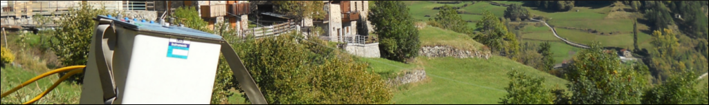
The geoelectrical multi-electrode method of investigation is applied to map the real electrical resistivity of the subsoil by injection of current and measuring the potential difference in a series of electrodes placed in the ground or inside a borehole.
The electrical resistivity is closely related to the chemical and physical properties of the different lithology and, therefore, the section provides a very accurate geologic model of the subsoil.
The main fields of application of multi-electrode geoelectric method are:
- Research of underground water. Optimal location of water wells (well siting), source catchments, definition of area protection of sources.
- Evaluation of the depth of the bedrock (for geotechnical design, foundation piles, bridges, etc.).
- Location of plumes of contamination. Environmental subsurface characterization and research of sources of contamination.
- Location of fractures and faults (water bearing faults in hydrogeology, faults interacting with the underground civil works like tunnels, dams, etc.).
- Survey of landfill (hidden waste disposal location , leakage tests, leachate plumes location, etc.).
- Geological setting for development of quarries and mines, infrastructure projects, landslides, etc..
- Cavities detection (natural karst, artificial cavities like abandoned tunnels, mining voids, etc..